
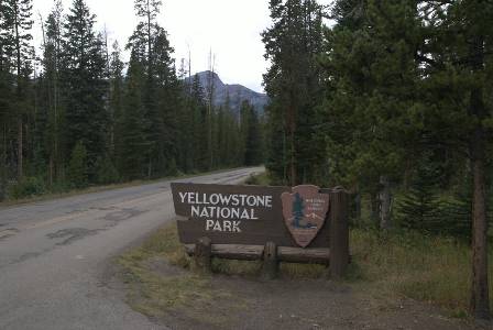
If you think you know Yellowstone National Park, but you haven’t visited the north end, you really don’t know the park at all. Things are different on the north side: the mountains are bigger, and the roads tend to run deep in between them, rather than on top of a mostly flat plateau, as is common in the rest of the park. This is probably why you’ll hear so many people say that the north end of the park is the best part of the park, and after my visit, I’m inclined to agree.
The northeast entrance is just beyond Silver Gate and Cooke City. Here, you are in the middle of the Absaroka Mountain Range, part of the Rocky Mountains. You’re still in Montana for the first mile or two, then the road dips down into Wyoming.

I made my first stop at a wayside near Barronette Peak (elevation 10,404). On the opposite side of the highway…

… I could still see jagged Abiathar Peak, but there were better views a mile or two up the road (although I couldn’t find a suitable place to pull off for a picture). The first few miles after the northeast entrance are like that — the road is wedged between mountains, with lots of trees on either side. Eventually, the valley widens out a bit.

As the road cuts a southwest path into the park, you’re driving along Soda Butte Creek. There’s a nice picnic area here, that provides access to the water. I strongly recommend eating lunch while dipping your feet in the water (if the water is warm enough).

When the valley widens, the road straightens out, and you have a while to stare at the mountains looming ahead of you, or beside you.

One neat place to stop along this part of the road is Soda Butte. The old geothermal spring is almost extinct — only a small amount of water and gas currently escape the earth here, although it was much more active long ago.

Just before you arrive at Tower-Roosevelt Junction (so named, because it is near Roosevelt Lodge and Tower Fall), you will cross the Yellowstone River. Upstream, the Yellowstone River tumbles over waterfalls, as it passes through the Grand Canyon of the Yellowstone. Downstream, the river leaves the park, runs up to Billings, and eventually into the Missouri River.

There’s only a small turnout at the end of the bridge. A trail appears to run down the hill to the river.
Note: This trip was first published in 2008.


No comments