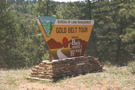
When I visited Colorado back in 2005, I had planned to drive up Shelf Road from Cañon City to Victor, but I didn’t know how to find it, and no one I asked knew how, either. So, I opted to drive another segment of the Gold Belt Byway Tour, Phantom Canyon Road. It was also a great scenic drive, but I had always regretted not finding the Shelf — until I returned in 2010.

If you can’t stand the sight of a sheer drop, or the thought of the edge of a cliff being just a few feet away from your car’s tires, you probably shouldn’t drive up Shelf Road. You should also try harder not to be such a scaredy-cat, because your fear of a disastrous, Hollywood-movie-style plunge into a canyon will cause you to miss out on some incredible scenery.
The photo at the top of this page is from the middle portion of Shelf Road — its most harrowing part, which earned the road its name. But there’s a lot more to Shelf Road, so let’s back up to where it begins, in Cañon City.
Garden Park Fossil Area – Cleveland Quarry

After you’ve left Cañon City, the first few miles of this route are paved. You’ll see a turnout on the right side of the road at Cleveland Quarry. This eroded hillside makes up one of nearly a dozen quarry sites where dinosaur fossils have been located. The entire area is known as “Garden Park”, and over countless years, Fourmile Creek has cut through the Garden Park, exposing the bones of prehistoric creatures.

A little further up the road, there’s an old building by the side of the road. Signs indicate that it’s in the process of being preserved, but they don’t give any hint of what purpose the building served.
It’s not much further until the fun begins. The pavement abruptly comes to an end, and the road narrows to one lane. Before you know it…
Click the image to see a larger version.
… you’re on a very curvy road, perched on the side of a very steep hill. If you look at the larger version of this panorama, you can see the road carved into the hillside for a mile or two.

Bigger hills rise ahead, as Shelf Road squeaks around one curve after another.

Shelf Road is a two-way road, and there’s a fairly good chance you’ll meet someone coming the other way. There are places along the road where it’s wide enough to pass, but you might need to back up.
When the shelf portion of Shelf Road ends, there’s still plenty more adventure ahead. For the rest of the journey to the Cripple Creek/Victor area, Shelf Road runs through a narrow canyon.

I found a nice, shady spot to stop, next to a creek. A sheer cliff towers above this spot, providing shade. A picnic would have been appropriate, but after wandering around and enjoying the solitude for a few minutes, I kept driving.

The shelf portion of Shelf Road was impressive, but I think my favorite sight along the road was Window Rock. This isn’t a normal arch: the hole that formed in the middle of this rock fin is almost square, and seems unnatural. You’ll get a good view of Window Rock as you approach from the south…

… and again from the north.
As you continue northward, Shelf Road continues to be an adventure. The road is a bit rough in places, though I don’t believe a 4-wheel-drive is required. In fact, I think you could make the trip in a regular sedan, as long as you take it slowly and use caution.

As you emerge from the northern end of Shelf Road, you have a choice: turn right and head towards Victor, or left to Cripple Creek. I prefer Victor, since it feels more like an authentic mining town (and almost a ghost town). Cripple Creek has been developed into a gambling town, and is packed with casinos and newer buildings.

Somehow, I don’t think the Gold Mine Trip is leaving from here to-day.

As you finish the drive into Victor, you’ll pass below some huge mountains made of mine tailings. We’ll explore those mines a little more, coming up. Follow Colorado Highway 67 south as it circles around the tailings, and into Victor.
Drivelapse Video
Here’s a time-lapse dash-cam video of the drive up Shelf Road, from Cañon City to Victor:


No comments