Just about 15 minutes south of Leadville, Colorado, you’ll make a turn off of US 24 and onto Colorado Highway 82. There’s almost nothing at the intersection, but the community of Twin Lakes is just a short distance away on Route 82. The village, and the lakes for which it is named, provide an enticing greeting for the miles of amazing road ahead.
I pulled off the highway into the Twin Lakes Recreation Area. There are a couple of dirt roads that run along the edges of the lakes. It’s a beautiful spot…
… that provides a fantastic view of the mountains to the west — and that just happens to be the direction we’re headed next.
I didn’t stay here long, because a fierce wind was blowing across the lake, kicking up white caps on the water’s surface. It was bone chilling, and not quite as photogenic as I would have hoped. I’m betting that early morning would be a much more enchanting time here, rather than midday.
Highway 82 is part of the Top of the Rockies Scenic Byway, but at this point you’re at the foot of the mountains. The road stays low for a while (low being a relative term in these parts — around 10,000 feet) as it follows alongside Lake Creek.
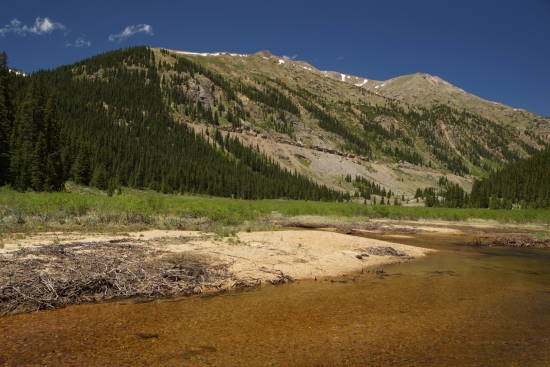
About 18 miles after you turn off US 24, Highway 82 gets ready to make its dramatic climb skyward. Stop and splash in Lake Creek, as you look forward towards the steep grade that road crews sliced into the side of Twining Peak (the peak isn’t visible from here, it’s hidden behind itself — but you will be able to see the 13,711 foot/4,179 meter peak from Independence Pass).
Start the climb, and you’ll soon begin to feel on top of the world. Keep going, and the views get even more spectacular, as you approach Independence Pass.
Drivelapse Video
Here’s the time-lapse, dash-cam video of the drive from Twin Lakes, up to Independence Pass, and on to Aspen:


No comments