
Just a few miles outside of Chandler, I spotted this Meramec Caverns barn. It faces eastbound traffic (which makes sense, because Meramec Caverns is several hundred miles east of here) but I managed to spot it, turn around, and take the poorly lit picture.
A little further on, you pass by Wellston (bypassed by the current route of OK 66, follow 66B if you want to see the town), then Luther. You’ll spot the old concrete pilings from the original Route 66 bridge at Luther, on the north side of the road. Just west of there…
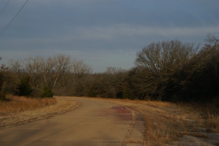
… a sign marks the turnoff for a fragment of the old road, that leads up to the backside of that now-missing bridge. Turn at the “Private Historical Site” sign, for a moment of Zen on Route 66’s original concrete surface. Take it slow, though: I hit one huge bump in the crumbling concrete–big enough to make me briefly wonder if my rental car had a decent spare tire.
Note: This trip was first published in 2008.


No comments